 e
aquifer.It is the gravely area at the base of the soil and top of the river.
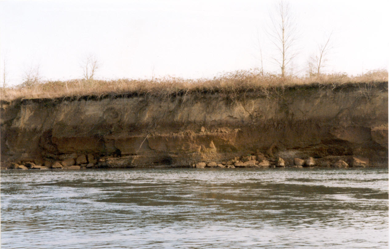
This is an exposed area of the Willamette aquifer on the Willamette River
below Corvallis. The aquifer at the field sight is not exposed but covered
by the Willamette silt, much deeper at the field sight.
e
aquifer.It is the gravely area at the base of the soil and top of the river.
This is an exposed area of the Willamette aquifer on the Willamette River
below Corvallis. The aquifer at the field sight is not exposed but covered
by the Willamette silt, much deeper at the field sight.
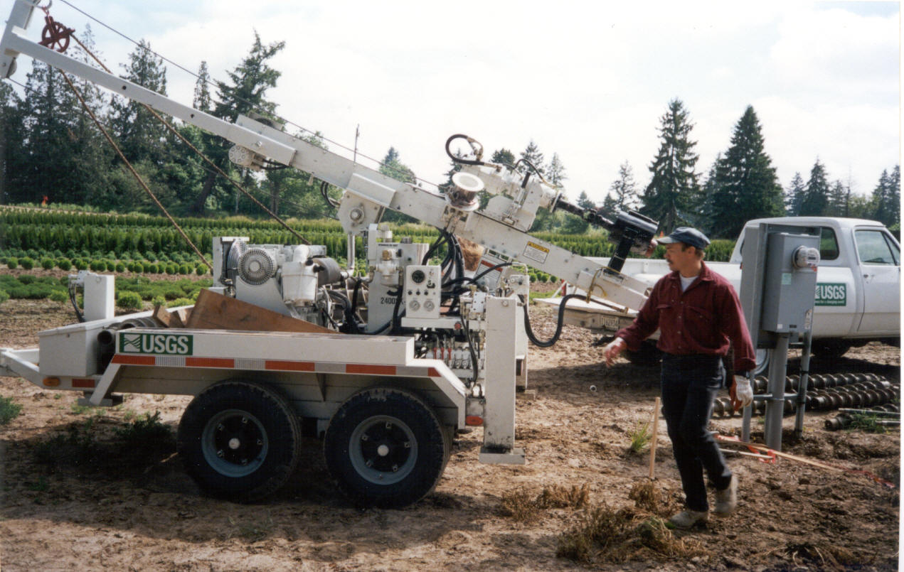 This is a picture
at the field sight of the drilling rig that the USGS brought out to drill
the wells that hold measuring equipment, such as a piezometer, which
measures pressure.
This is a picture
at the field sight of the drilling rig that the USGS brought out to drill
the wells that hold measuring equipment, such as a piezometer, which
measures pressure.
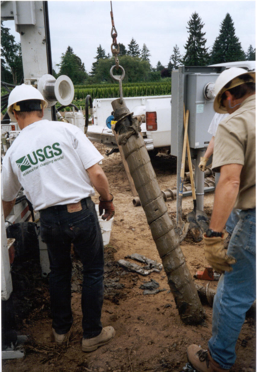
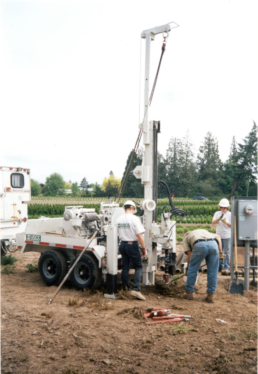 These are
more pictures that show the drilling process. Here they are drilling one of
several wells located on the property of the field sight.
These are
more pictures that show the drilling process. Here they are drilling one of
several wells located on the property of the field sight.
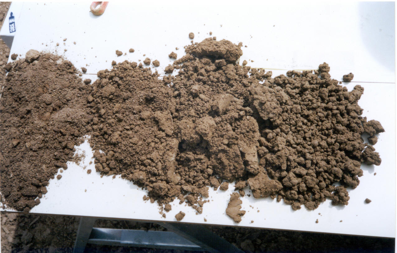
This is a soil profile of the soil at the drilling sight.
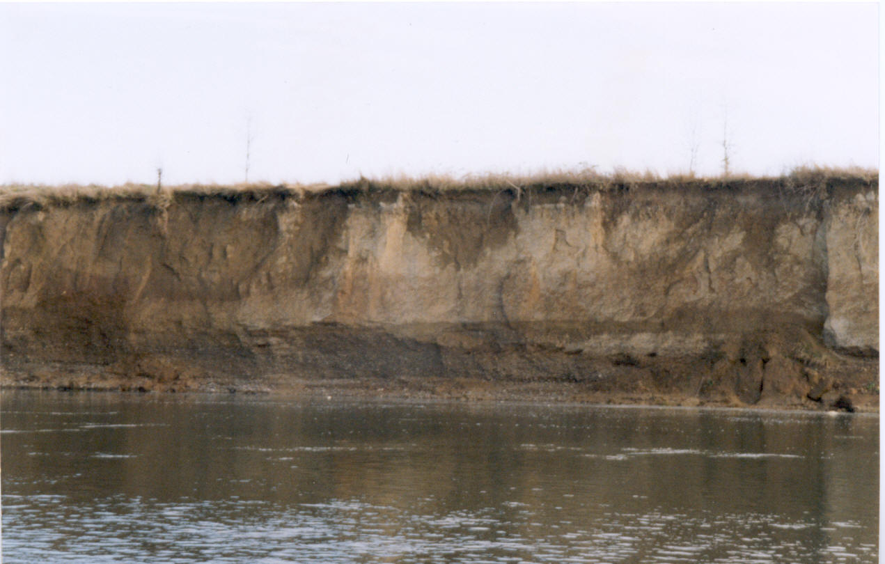 This is also
another picture of the Willamette Aquifer. The aquifer is visible at the
base of the soil, the gravel at the base.
This is also
another picture of the Willamette Aquifer. The aquifer is visible at the
base of the soil, the gravel at the base.